Ranger-Ready Land Navigation Field Guide - Field Tan
You’re standing at a fork in the tree line, no trail markers, no cell service—just you, a map, a compass, and this land navigation manual. Within a few pages, “somewhere out there” turns into grid coordinates you can actually plot and walk to. You start hearing azimuths and pace counts in your head like second nature. This isn’t theory talk—it’s the same map reading doctrine soldiers have carried in a tan cover like this for decades, now riding in your ruck as your quiet, confidence-building backup.
You’re deep enough into the woods that your phone is just an expensive brick now. The trail you meant to follow dissolved three turns ago. There’s that familiar, creeping thought—“I should know where I am by now.” You slide off your pack, pull out a folded topo map, your compass…and a dog-eared land navigation manual you’ve been meaning to really learn. This is the moment a land navigation manual stops being a book and becomes your way back to certainty.
How a Land Navigation Manual Turns Guessing into Knowing
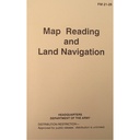
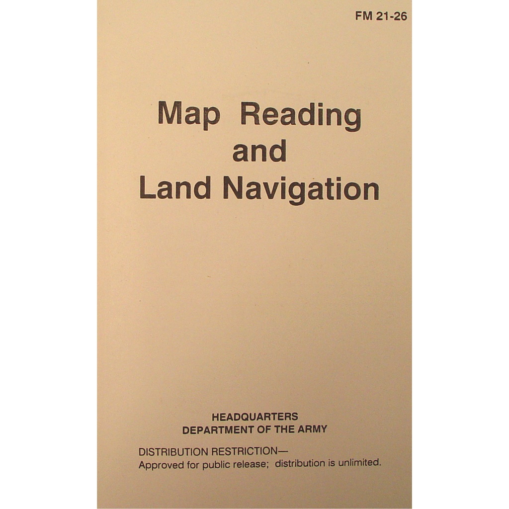
If you’ve ever stared at a map and felt like it was written in another language, this is where your story changes. This isn’t a glossy coffee table guide—it’s a direct reprint of U.S. Army FM 21-26, the same land navigation manual soldiers used to turn raw terrain into readable information. For you, that means every page has already been tested in rain, mud, rucks, and night movements.
Instead of abstract explanations, you get straight talk: how to read contour lines so you can see hills and valleys before you ever step onto them, how grid coordinates snap into place so a random square on paper turns into a precise point on the ground. Grid north, magnetic north, azimuths—they stop being intimidating terms and start becoming tools you reach for without thinking.
Why This Land Navigation Manual Feels Like Experience, Not Theory
There’s a reason this land navigation manual looks so plain. The field-tan cover, the black text, the FM 21-26 code in the corner—everything about it says, “This is here to work, not impress.” When you crack it open, that same attitude continues. No fluff, no outdoor-influencer tone, just doctrine refined by people who had to get it right the first time.
You get map reading broken down from the ground up: how scale changes what a centimeter means for your boots, how to build a pace count that’s honest for your stride, not some average-sized person in a lab. When you hit the sections on terrain association, you start looking at ridges, draws, and saddles differently—like familiar faces, not blurry shapes on a page.
What the Field-Tan Cover Says About You
There’s a quiet message in that tan softcover. It doesn’t scream “look at me” in camp; it just slips into a ruck pocket and waits. When you pull it out, people who know, know. This is the same style carried in basic training, ROTC, and unit land nav courses. For you, it’s a signal: you’re not playing at wilderness, you’re actually learning the same map and compass skills the Army still trusts.
Carrying a Land Navigation Manual as Part of Your Everyday Readiness
You don’t need to be on a mission to get value out of this. Maybe you’re building a serious go-bag and you want more than a handful of YouTube screenshots. Maybe you teach Scouts, cadets, or a local SAR group and you want one consistent reference in every hand. Or maybe you’re just tired of relying on battery icons to tell you whether you make it back before dark.
This land navigation manual slides into a pack or glove box without taking over your space or your budget. The perfect-bound softcover holds up to being opened flat on a wet tailgate or pinned under a compass and protractor. And because it’s a faithful FM 21-26 reprint, when you say, “Turn to the section on azimuths,” everyone’s literally on the same page.
How It Feels to Actually Use It
Picture this: you’re on a ridge line with a paper map flapping in the wind. You rest it on your knee, thumb through the manual, and in a few lines, you’re reminded how to shoot a back azimuth to confirm your position. You follow the steps, line up the compass, check the terrain—and that uneasy feeling in your chest loosens. You’re not hoping anymore. You’re verifying.
When a Land Navigation Manual Quietly Becomes Your Edge
There’s a gap between people who say they “kind of know” land nav and people who actually do. This land navigation manual lives in that gap. It’s the difference between following colored blazes and building your own route because you understand the map better than the trail app ever will.
Out on a night hike, you can use it beforehand to refresh resection—plotting your position from distant landmarks—so you’re not relying on headlamp-lit guesswork. On a range or training lane, it keeps everyone honest on pace count and plotting, so the course tests skill, not luck. Even on a casual weekend, it lets you practice small pieces—like identifying terrain features or reading contour intervals—without turning your day into a classroom.
Questions People Ask Before Buying a Land Navigation Manual
Is a land navigation manual still useful if I mostly use GPS?
Yes, and that’s exactly why it matters. GPS is brilliant—until it dies, glitches, or loses signal in canyons and heavy cover. A solid land navigation manual like this teaches you how to read a map, plot points, and use a compass so you have a backup that never needs charging. It turns GPS into a convenience, not a crutch.
What’s the difference between this and a generic map reading book?
This is a direct reprint of the U.S. Army FM 21-26 land navigation manual, which means it’s built around real training and field use, not just theory. The language is clear, direct, and structured so you can teach from it, train with it, and test yourself against it. When you finish a chapter, you don’t just “understand” land nav—you can actually do it on the ground.
Is the land navigation manual good for classes or group training?
Very. Because it’s doctrine-based and consistent, everyone in a class, unit, or team can work from the same pages in the same order. Instructors can assign sections on grid coordinates, azimuths, or terrain association and know every student is seeing identical diagrams and explanations. For you as a trainer, that means less time reinventing material and more time watching your group’s skills jump.
Will this help if I’m completely new to map and compass work?
Yes. The manual starts with basics and builds step by step, so you’re not dropped into advanced land navigation without a foundation. If you’re willing to slow down, follow the examples, and actually walk what you read, this book will take you from “no clue” to confident navigation on real terrain.
Later, when you’re miles from the nearest signal bar, you’ll unfold your map with a different kind of calm. You’ll trace contour lines with your finger and see the valley you just crossed and the saddle you’re heading toward. Your compass will stop feeling like a token EDC item and start feeling like part of a system you understand. In that quiet, capable moment, this unassuming land navigation manual won’t feel like a book at all—it’ll feel like the reason you always seem to find your way back.